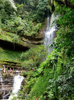
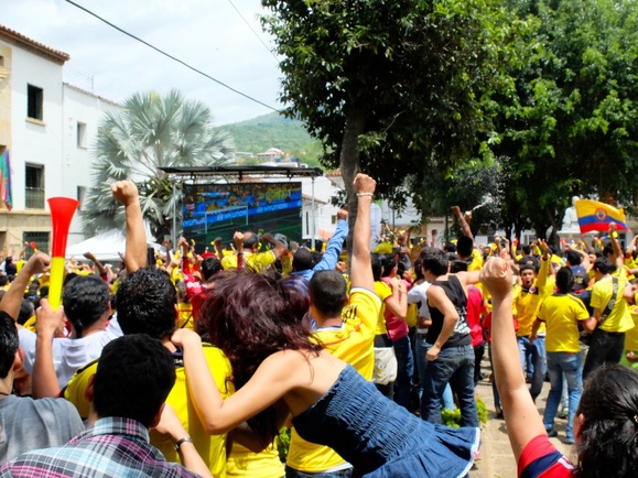
 The bus to San Gil was pretty terrible; seats were uncomfortable and didn’t lean back very far, it was a bit too cold (air conditioning!!), the seat belts didn’t work and the road was insane. For eight hours, overnight. I looked out the window at one point a few hours in and found myself looking down a steep mountainside and endless switch back roads going down. We were just getting tossed around all night, but I did manage to get a little sleep somehow. We got into San Gill pretty early and found a place to stay at Hostel El Dorado after turning down the first two. Favio, the twenty-something owner, told us about what there is to do in the area (anything you can think of, pretty much) and got us settled in. The second Colombia game (against the Ivory Coast) was on that day so we went out to a store down the street near the main square to buy some Colombia jerseys, and joined the hundred and something other people from the area to watch the game on the big screen in the main square. It was very fun, and loud!
1 Comment
I'd like to present our latest video, a photo-based guide sharing some advice on how to best appreciate nature. I had a lot of fun putting this one together, looking over our vast and ever-growing collection of photos from our adventures in the wild. Hope you all enjoy! - Mandrew 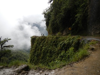 a beautifully deadly turn a beautifully deadly turn La Paz sucks.
Keep in mind here that neither Chelsea nor I are big fans of cities - they're usually too busy, too noisy, too smelly... we'd both really rather be in a smaller town or out lost in the wilderness. La Paz, Bolivia's bustling administrative capital, is the epitome of all that sucks about cities: streets packed with breaking-down cars and trucks, all constantly weaving around one another, doing their best to decorate their hoods with pedestrian guts while spewing plumes of acrid, black exhaust; sidewalks and plazas crammed with crowds of pushy, loud strangers all pushing their way past the rancid cesspools of garbage and human waste that scatter the streets. I'm sure there are some worthwhile spots hidden within the nightmarish cityscape, though we were so appalled we did our best to stay hidden in our hostel. One of the few times we did venture out in search of a decent meal, we discovered a maggot at the bottom of our (otherwise delicious) compost soup. Okay, fine, the central market was a great place to stock up on alpaca-wool sweaters in preparation for the coming cold of Patagonia, and the Witches' Market was a perfect spot to shop around for stuffed piranhas and llama fetuses. Alright, I'll admit that there were a couple okay watering holes, some even offering different options (options!) of beer: our aptly-named hostel Adventure Brew even had a decent micro-brewed IPA, the likes of which my lips hadn't touched since leaving Canada. On the whole, however, La Paz sucks. Unfortunately, however, traveling around Bolivia by bus will almost inevitably leave you stuck there for a night. For us, the only redeeming feature of La Paz was its proximity to "Death Road", the site of numerous fatal vehicle accidents (including a single event in the 80's which took the lives of over one hundred people) and a popular spot for downhill mountain biking. 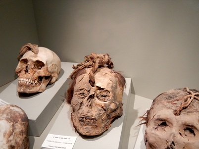 Something about this photo gives me the heebie-jeebies Something about this photo gives me the heebie-jeebies Shamans, medicinal plants, earthquakes, ancient cities, mysterious symbols; Peru really is the most diverse and magical country we have been to so far! Since this is our first visit to Peru (though likely not our last) we decided to go a bit more mainstream than usual and visit the recommended sites along the well-known "Gringo Trail", taking us through all of the major attractions of the country, starting with Lima. To start out on our route we headed via airplane from Iquitos to Lima, in order to save a week or more of time (the other option was another multi-day cargo boat from Iquitos since it has no road access, followed by a 24+ hour bus ride). We didn't spend much time in Lima before departing to Pisco to visit the Ballestas Islands and Paracas National Reserve, and to unexpectedly experience a 5.7 magnitude earthquake while face-timing with Donna and Jim, Andrew's parents. The next stop on the Gringo Trail was Nazca where we saw for ourselves the infamous Nazca Lines and learned a lot about the ancient cultures that inhabited the area between 100bc and 800ad, and then spent the next few days barfing due to the horrific flight over the lines and/or some bad food or water, who knows what. After Nazca was Arequipa, the second most populous city in Peru and the hub to get to the beautiful Colca Canyon (but we decided not to go there since it was a bit far and really expensive). Finally, we arrived in Cusco, our base for some intense Shamanism and of course, to visit Machu Picchu. Next and last on the list (heading out this afternoon via bus) will be the town of Puno where we can visit Lake Titicaca before crossing the border into Bolivia. We can really see why so many people travel this route: the diverse beauty and culture have taken our breath away almost every day since we have arrived. Gringo Trail - click on the icons for informationIquitos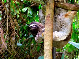 Chili sloth Chili sloth Following our insane Rio Napo trip we spent a couple of days exploring the incredibly loud Amazonian city of Iquitos. There were hardly any cars or trucks in the city, but thousands of moto-taxis (converted motorbikes with carriages on the back), thus the very noisy streets. We have come to realize, however, that almost everywhere in South and Central America so far the people seem to need noise at all hours of the day. You can't help but wonder if they purposfully design the bikes to be extra loud!
On one day while our muuuuuuch needed laundry was being done we wandered around the Belen Market, where one may find almost any kind of medicinal plant (or animal for that matter) you can think of. Of course, as is always wise while wandering in local markets, we only took out our camera a few times and made sure that not many people saw us with it, and we left anything else of any value back at the hostel. 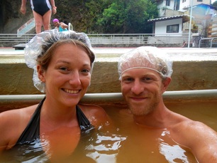 They made us wear the caps They made us wear the caps Aaaaaahhhhhh hot springs…… There is NOTHING better than a day spent soaking in natural hot water with tons of happy strangers. Baños was a perfect contrast from the loud and dirty Montañita. Nestled high in the Andes Mountains at 1815m above sea level, Baños is a small, very green and picturesque volcano village with about 17,000 residents, literally located in the line of lava from the highly active Tungurahua volcano. As recently as 1999 the entire town had to evacuate as a precaution, though luckily the volcano didn’t totally blow. 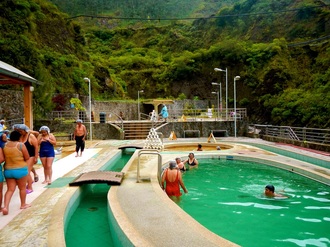 There were many pools of different temperatures There were many pools of different temperatures We spent two nights at a very nice “eco” hotel called La Casa Verde. It was the most expensive place we have stayed so far on our trip at $50 per night, and it was totally worth it! After the Dengue fiasco we decided it was time for a little treat. Not only was the place itself very nice, the people staying there were fun to chat with, they had 100’s of DVD's, and they had amazing organic vegetarian food. I wasn’t completely ready to enjoy full meals at this point but by the time we left I was feeling so much better. On the first day we just wandered around the town and soaked in one of the many hot springs. It was very “tranquillo”. And on the second day we figured we could do some white water rafting since adventure travel is one of the main attractions in Baños. 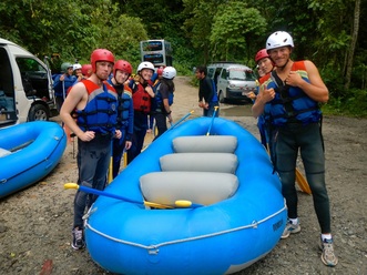 The Titanic team! The Titanic team! Rafting was much more exciting than we had anticipated! We have both been on rivers in multiple countries and for the most part have found white water rafting to be somewhat boring at times between rapids, and exciting only for 5 or 6 quick rapids. Neither of us had flipped a raft before, though we had both fallen out a couple of times in a relatively controlled manner. This trip was different. From the moment we entered the river until we finished the trip an hour or two later it was non-stop action! And not just tame rapids either, but very strong currents and large boulders that we had to ram every time even though half of the people in our raft were terrified. They were terrified for good reason too, perhaps!
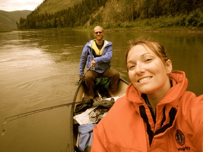
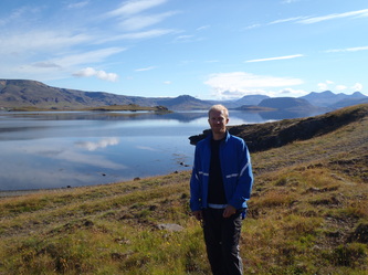
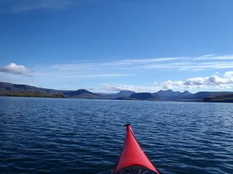
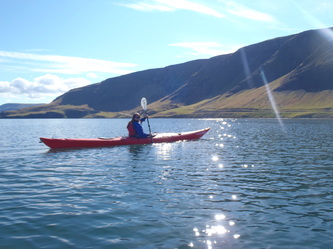
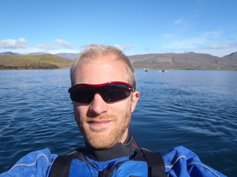
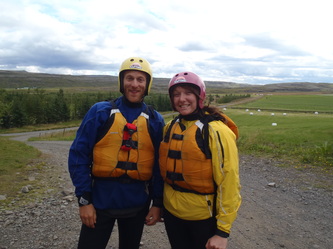
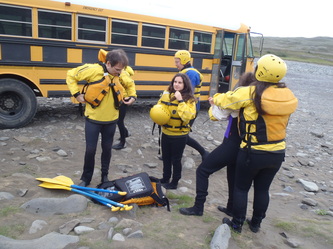
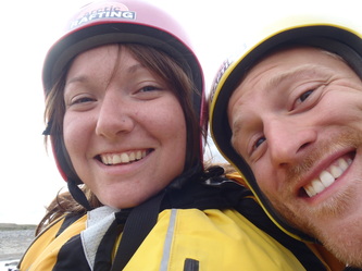
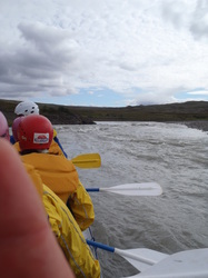
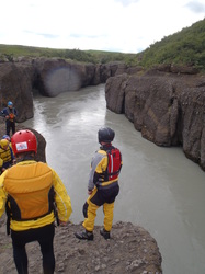
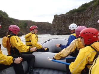
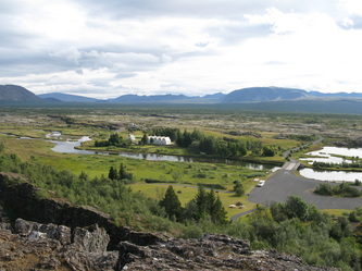
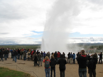
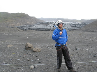
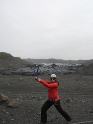
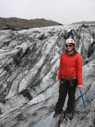
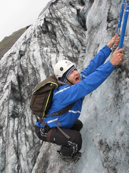
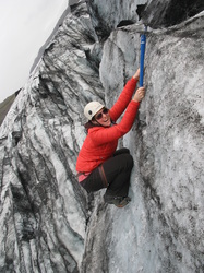
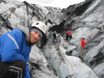
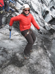
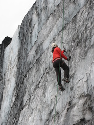
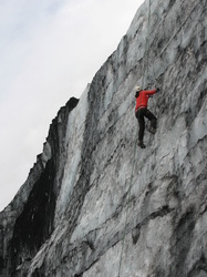
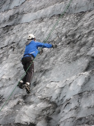
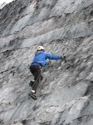
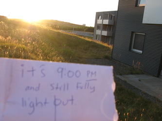
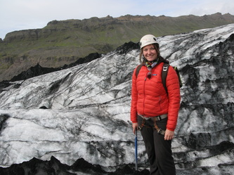
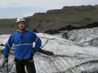
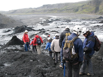
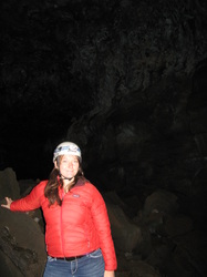
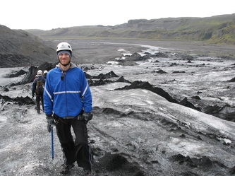
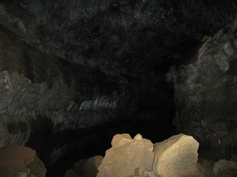
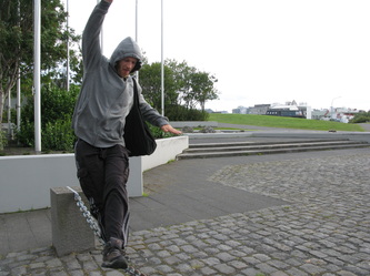
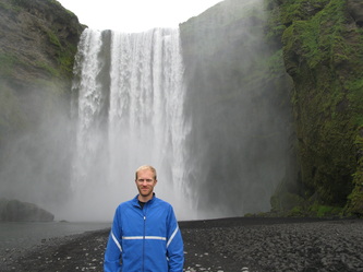
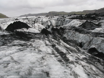
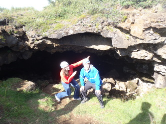
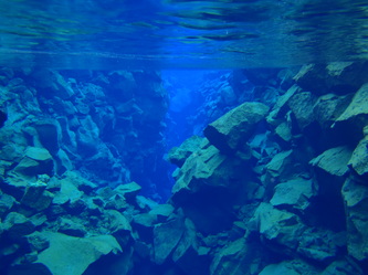
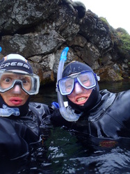
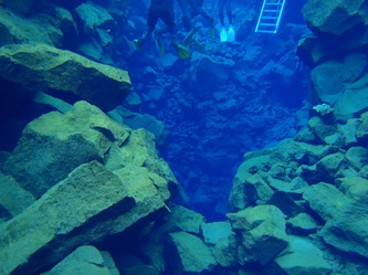
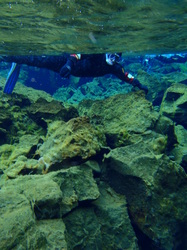
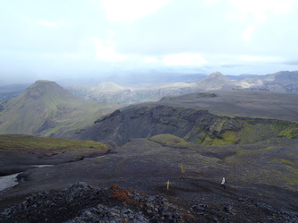
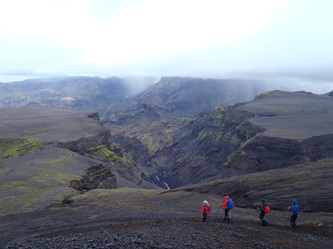
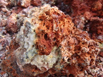
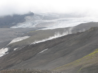
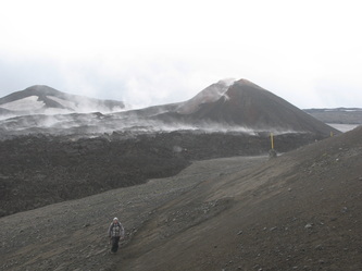
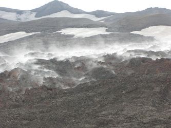
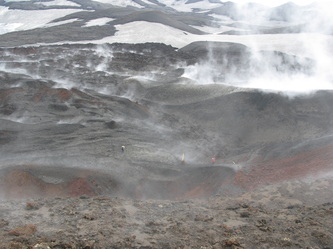
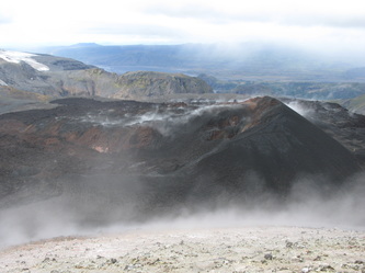
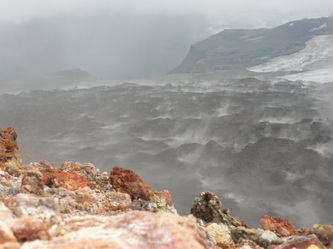
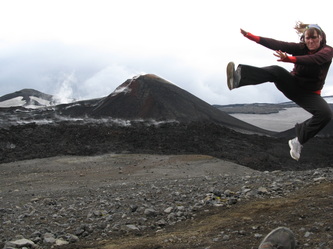
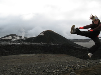
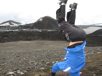
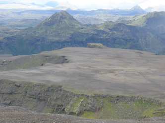
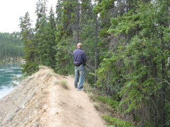
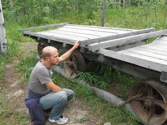
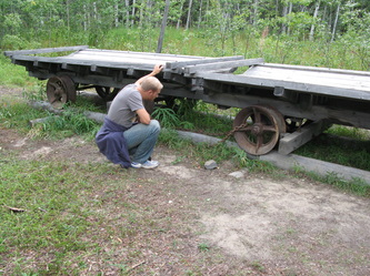
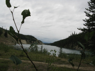
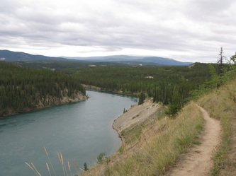
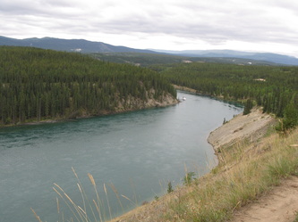
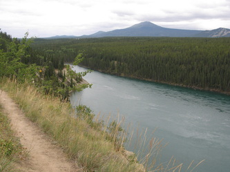
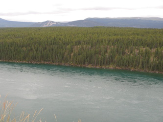
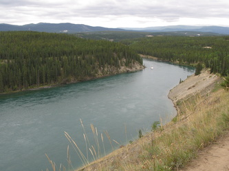
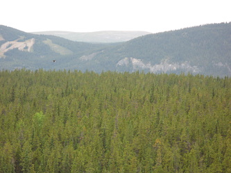
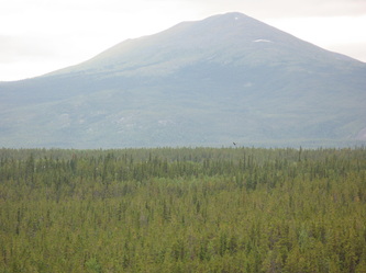
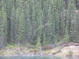
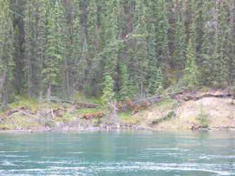
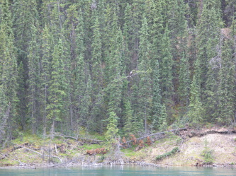
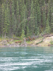
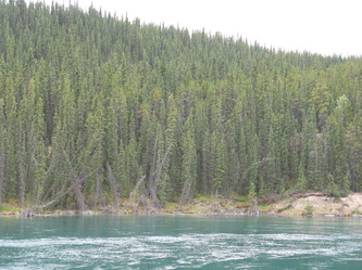
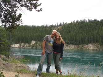
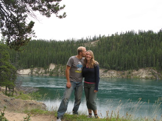
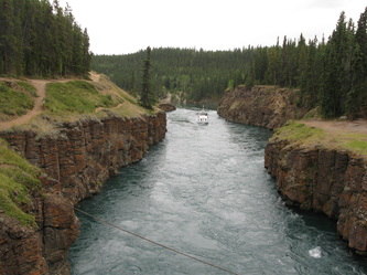
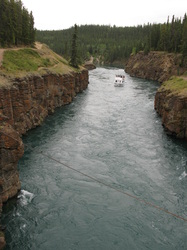
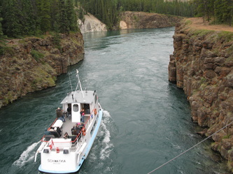
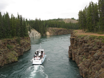
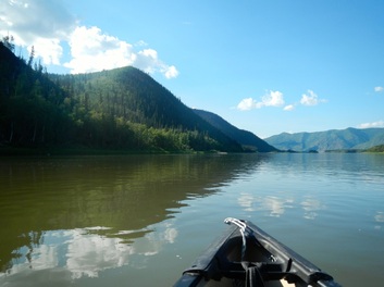 Six days, 228 miles, a close grizzly encounter, way too much sun, an incredible thunderstorm, and a constant feeling of awe - this was a trip we'll both remember for a lifetime. There are few experiences more humbling than being alone on the river, floating through such a vast and beautiful wilderness. With the current constantly pulling you along, it's all you can do to eagerly peer around each bend and discover what surprises are in store: breathtaking rock formations, charred remains of forests, sand & gravel islands, looming storm clouds, and plethora of wildlife. This was the kind of trip that reminds you that you're just another one of nature's creatures. 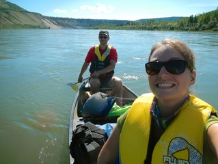 The paddling itself was quite non-technical and effortless; with the current flowing at about 7 or 8 km/h you can cover ground just relaxing and letting the river do the work. Much of the actual work we did was to investigate some of the smaller side-streams and islands along the way, or to avoid being drawn into areas that were too shallow or full of fallen trees. There were only a handful of small rapids, most of which we worked hard to get to just for a little excitement. We'd both recommend the trip to anyone who's had any wilderness camping experience. If you're well equipped for camping, you should have no trouble gaining your canoeing experience on the river. The Photos To view the slideshow in another window, click here. The RouteView Yukon River Canoe Trip in a larger map Daily Trip Log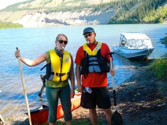 Day One We started our trip at Tatchun creek, a couple hour drive from Whitehorse (thanks to Chelsea’s mom for the ride!). This put us just downstream of the Five Finger Rapids which we were too scared to attempt right off the bat. In retrospect, we totally could have handled them – we may go back just to prove it to ourselves. As we loaded the canoe and tied down our gear, a First Nations woman hanging salmon nearby warned us that there was a bear very close by. Needless to say, we didn’t dawdle long for our goodbyes. The first day of padding was quite casual. As we got used to steering through the big eddies and quick current, we spotted a moose on shore and floated quite close before it got spooked and took off. Later in the day, just before Minto, we spotted a large black bear on shore who didn’t pay us any mind, reminding us that we should take care at camp to avoid any encounters: cook, eat, and store (in airtight containers or drybags) all food, dishes, and anything else with any kind of scent, including clothing worn when cooking or eating, a good distance away from where you sleep and where you store your canoe. Despite this reminder, our dinner of rice and bean burritos proved impossible to contain, forcing us to move from our initial island camping spot just across from the Minto airstrip. That spot was a bit too cozy anyway and we had no option to move our tent more than 5 or 10 feet from where we were eating. Lesson one: burritos are a bad meal choice in bear country. We covered 37 miles, as the river flows, putting us just past Minto. We ended up spending the night instead at a spot marked “Thom’s Location” on the map, with a nice camping area and a usable cabin. Because there was fresh bear scat nearby, bear claw marks on the trees, and wolves howling in the distance as we were stoking our camp fire, we decided to sleep inside the cabin, with the door tightly tied shut. And because Chelsea was afraid of spiders, we pitched the tent inside the cabin. This was a restless night for me, with hours spent listening to the scampering of rodents throughout the cabin. I guess we shouldn’t expect to be the only ones taking advantage of such a cozy cabin – the tent was a good idea after all. 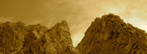 Day 2 Another day of beautiful weather and wildlife spotting (mountain sheep, beavers, bald eagles, ducks and other birds). We stopped for a long break at Fort Selkirk (a historic trading post of the Hudson’s Bay Company) to have some lunch and explore some of the old buildings and artefacts. After an easy day of padding, covering about 26 miles, we stopped at a large sandy island with a beautiful beach. Lesson two: when you’re on a remote beach, it’s impossible to resist getting naked and playing frisbee. Day 3 Our third day was definitely the most exciting. We awoke in sunshine to rolling thunder from a distant storm which we watched for a few hours as it slowly closed in around us. Before the dark clouds and lightning got too close, we took shelter on shore below some cliffs and nervously watched the show. With cliffs on one shore and hills on the other, the thunder echoed and rolled on for minutes at a time. We managed to duck under a tarp just as the sky opened up dumping rain and hail on us. Later that day once the rain had dried up, we started to wander from the main drag and explore more of the side streams and island channels in the hopes of finding a good fishing spot and spotting some more wildlife. This brought us to Seventeen Mile creek, where after tying the boat to a fallen tree in a channel no more than fifteen feet wide, Chelsea was caught mid-pee (literally with her pants down) when a grizzly bear poked its head over some shrubs on the opposite shore about 10ft away. I managed to alert Chelsea by shouting “Bear! Bear! Grizzly!” allowing her to demonstrate her ability to multi-task under pressure by quickly pulling her pants up, getting back into the canoe and untying the rope, all the while blowing her whistle, waving her arms, and assertively chanting “Hey! Hey! Get outta here!”. Although we couldn’t see it, we could hear movement in the bushes beside the bear, probably from a cub (eeks!). Luckily, after contemplating coming in for a closer look (perhaps to eat us), the bear slowly turned and went back into the bush. Lesson three: before stopping close to shore, make a ton of noise! Despite the earlier scare, we found a great fishing spot on shore at the mouth of Selwyn creek and managed to catch a couple grayling for the evening meal. After covering about 41 miles, we set up camp on another sandy island and finished the day. 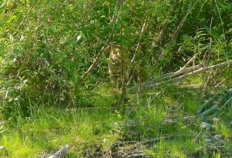 Days 4 & 5 The fourth and fifth days offered an unexpected challenge: intense sunlight. With the long, northern summers (over twenty hours of sunlight) the sun can really take a toll. We had run out of sunscreen early on the fourth day so we were forced to hide under clothing instead (at one point I wore a pair of shorts over my head to keep my ears from burning). Despite the heat, there was a good variety of wildlife along the river. I’m not sure how, but Chelsea managed to spot a lynx in some bushes on shore (I didn’t see it until we had paddled to within 15 feet of it). We also spotted a wolf about a hundred feet downriver, though it didn’t hang out to give us a better look. After passing White River the water became even thicker with silt, making it tough(er) to filter directly from the river. Luckily there were the odd creek with cleaner water to use. You could actually hear a “hiss” from the silt as the canoe moved through the water, pretty wild. Day four was a long one (we covered 51 miles) – we decided to pick up the pace and try and arrive in Dawson a day earlier (the sun had amplified our thirst for a cold beer). The sun had finally taken its toll midway through day five, so after 37 miles we stumbled onto an island, set up a tarp for shade and had a long, cool nap. Lesson four: spray-on sunscreen works fine, but only holds about a dozen applications - useless for a long trip. Bring lotion! 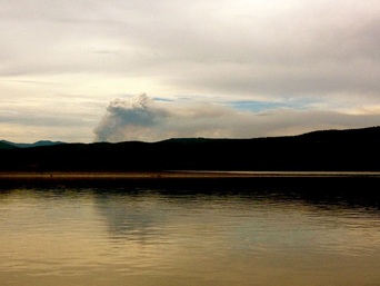 Day 6 On our last morning on the river we awoke to smoke in the air and a haze in the distance ahead of us. With a summer as hot as this, its common knowledge that there’s a risk of forest fires, but what would we do if we found ourselves padding into one? We decided to press on and re-evaluate if the smoke got much thicker. Luckily, after a few hours it cleared and we were able to continue on. Later that day, as we neared Dawson City, we could see a large plume of smoke in the distance on the left shore – the fire was still there, but the wind had shifted. After covering the final 36 miles, we arrived in Dawson City. Although it was nice to be done and enjoying some patio beers, we both admitted to each other we wished we had just a couple more days… Related Posts If you liked this story, be sure to check out: We spent just one short week and crammed as much stuff as we possibly could. We explored an underground lava tube, climbed a glacier, hiked a volcano, kayaked in the ocean, went fishing, snorkeled over the continental rift (Europe and North America) and rafted an awesome river! What a magical place! Everyone should go |



 RSS Feed